Here are various maps that show the areas that we visited on our Alaska vacation.
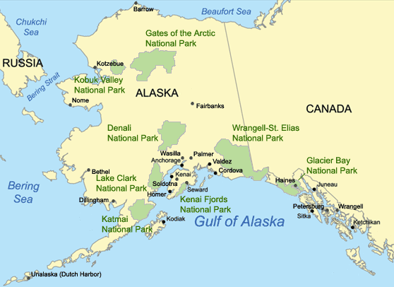
This map show the entire state of Alaska. Our trip extended north to Denali National Park, south to Kodiak Island, and west to Seward, with much of our activity in Anchorage.
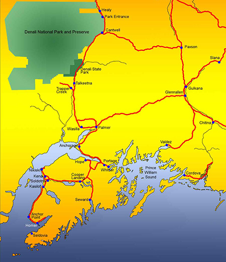
This map shows Anchorage (near the middle of the map), the entrance to Denali National Park (near the NorthEast corner of the park), and Seward, where we cruised around Prince William Sound.
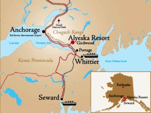
This map shows Girdwood, where we spent three nights in a rented house. Girdwood is approximately 30 miles southeast of Anchorage.
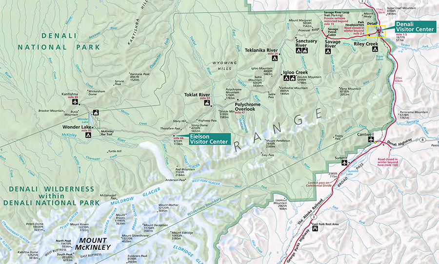
This map shows the portion of Denali we toured in the bus. We entered at the Denali Visitor Center and went to the end of the road at Kantishna, which is near the left side of the map (labeled as "mile 89" and has an airport symbol next to it). To look at the full map and a Denali brochure, click here.